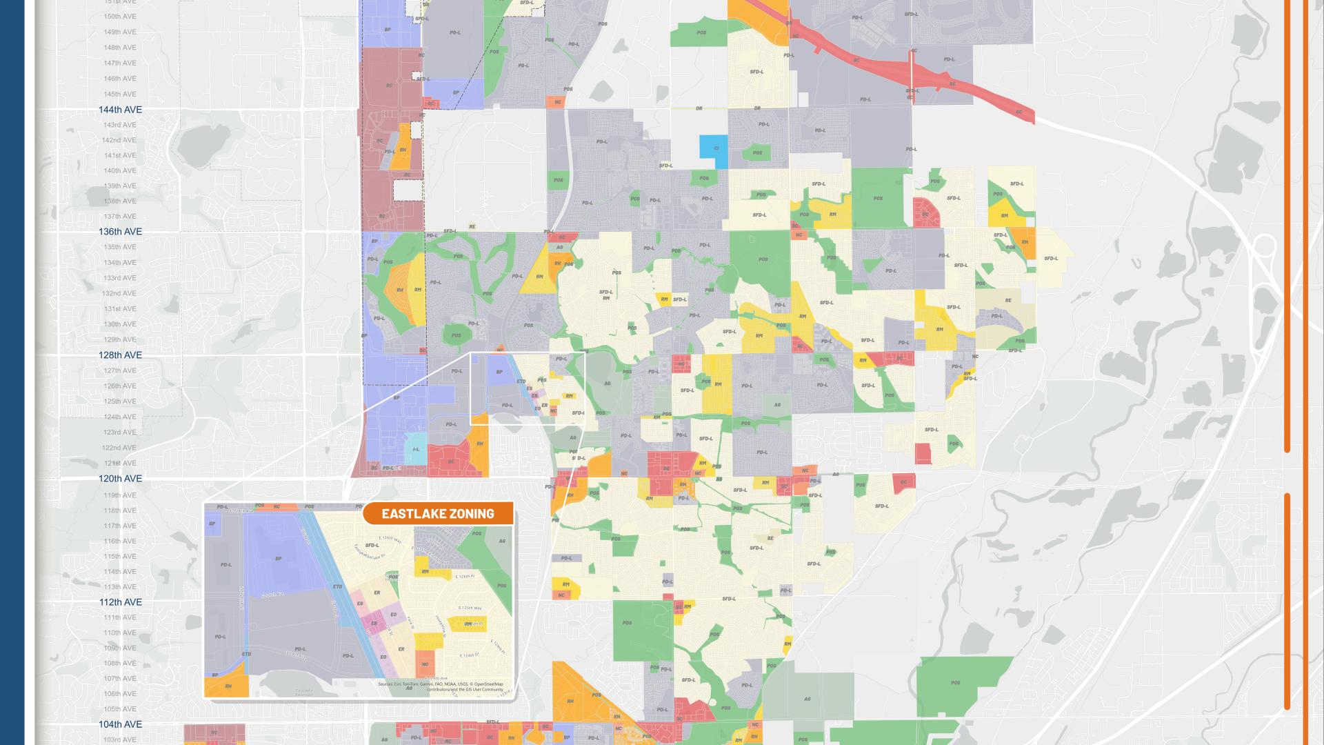
Zoning identifies uses that are allowed on a particular parcel in the City. Each property within the City of Thornton is designated with a zoning district, which has been approved by City Council. The zoning district will determine the allowed land uses, setback and height requirements, development and design standards, and more. This information is not exhaustive and is designed to provide a base understanding of zoning. For more information, contact City Development. Generally, there are three main groups of zoning districts: Residential, Non-residential, and Special/Overlay Districts.
Zoning Maps
Zoning maps are available for viewing on our web page. Hardcopy maps can be purchased at the City Development Department (located at the northwest entrance of the City Development Building, 9500 Civic Center Dr., Thornton, CO).
City of Thornton Zoning Districts, Uses and Regulations
The information provided below is intended to be used as a guide for general zoning inquiries. Please refer to the current Development Code, Article III [PDF/19.3MB] for the most up to date information.


