Division Information
Through its Engineering Services Division, Thornton oversees capital improvements, surveying, and maintaining the City's National Pollutant Discharge Elimination System (NPDES).

Capital Improvement Project (CIP) Map
City of Thornton 4(f) Public Notification
Project: 21-041: 104th Avenue Widening, Grandview Ponds Open Space to the Platte River Bridge
Pursuant to Section 4(f) of the Department of Transportation Act, we are providing opportunity for public review and comment on the project as it relates to the Grandview Ponds Open Space and Prairie Dog Habitat, the Riverdale Open Space and Prairie Dog Habitat, and the Riverdale Road Trail. Comments will be accepted via email at stolfusassociates@gmail.com through May 31, 2026.
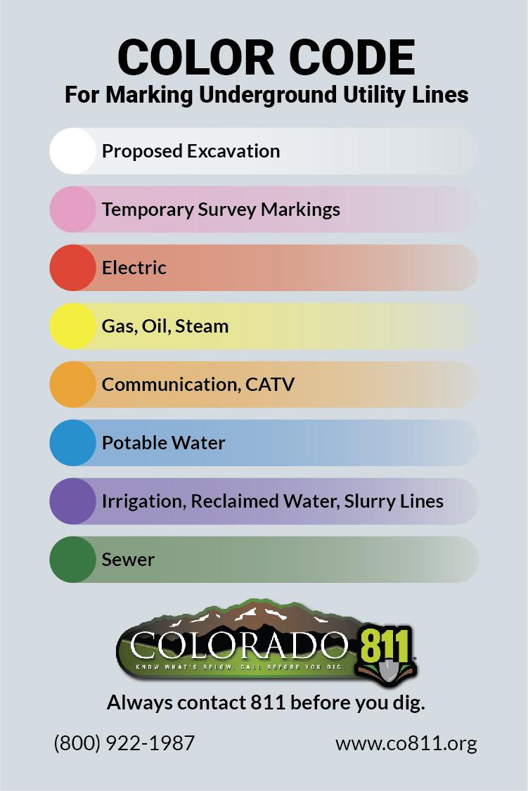
Fiberoptic Internet Buildouts in Thornton
Several companies are actively working or have expressed interest in doing so to construct fiberoptic internet networks to serve residences and businesses in Thornton. The city’s role is to facilitate access via a permitting process in a manner that does not hinder competition while ensuring permitted construction does not damage city-owned utilities and infrastructure.
Fiberoptic internet companies, like other utilities, may place their lines and equipment in the public right-of-way or in utility easements granted as each neighborhood was developed. Right-of-way is land entrusted to the city for public use outside of privately owned lots. It can be thought of as where roads and sidewalks are built, although residential property lines are often several feet behind the back of the sidewalk and it can be difficult to identify property lines solely from visual landmarks. Utility easements are portions of private lots, typically the first four to sixteen feet adjacent to each lot line, where utilities have the right to install and maintain lines and equipment necessary for providing utility service. Permitted utilities and construction companies must restore their work areas to equal to or better than pre-construction condition.
To submit a question or concern regarding internet fiber installation, please reach out directly to the contractor by calling or visiting their website.
- Quantum Fiber (AT&T), 888-575-0465, shontel.piazza@pauleyc.com
- TFiber by Metronet, 877- 407-3224
- Intrepid Fiber by Congruex, 720-438-6265